top of page
Industrial Site Mapping
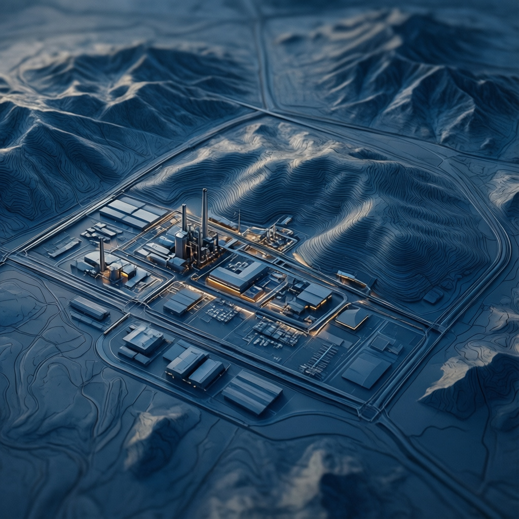
Creates detailed 2D maps and 3D models of industrial sites and large properties using drone technology. Facilitates site planning, inventory management, and operational efficiency by providing accurate geospatial data. Essential for large-scale businesses.

01
Industrial Site Mapping

bottom of page